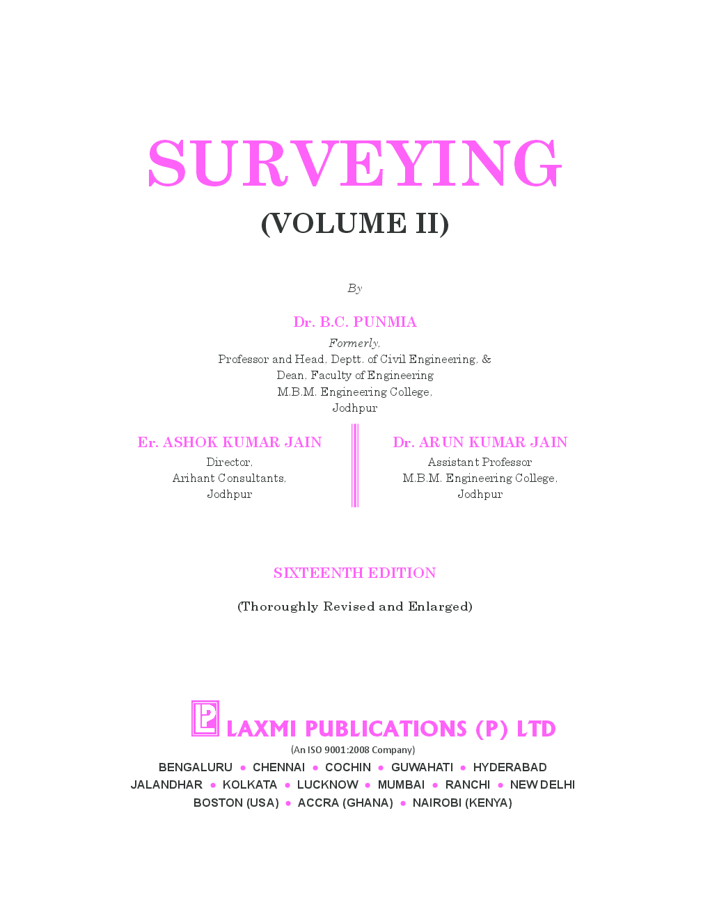
Surveying Vol.II by Dr. B. C. Punmia, Ashok Kumar Jain, Dr Arun Kuma Jain
Book Summary:
This Volume is continuation with Volume I, and deals with advanced topics of plane and Geodetic Surveying. The book contains sixteen chapters, including four chapters on Field Astronomy, Photogrammetric Surveying, Electro-Magnetic Distance Measurement (EDM) and Remote Sensing. Along with conventional instruments, the book also contains illustrations and descriptions of the most modern and advanced measuring instruments such as Wild T-2, T-3 and T-4 theodolites, Electronic theodolites, Distomats and Total Station.
Audience of the Book :
This book Useful for civil engineering students.
Key Features:
The main features of the book are as follows:
1. Each topic has been thoroughly described, the theory is rigorously developed and a large number of numerical examples have been included to illustrate its application.
2. The book also contains advanced problems useful for competetive examinations.
Table of Contents:
1. Curve Surveying I. Simple Circular Curves
2. Curve Surveying II. Commpound and Reverse Curves
3. Curve Surveying III. Transition Curves
4. Curve Surveying IV. Vertical Curves
5. Trigonometrical Levelling
6. Hydrographic Surveying
7. Mine Surveying
8. Triangulation
9. Survey Adjustments and Theory of Errors
10. Topographic Surveying
11. Route Serveying
12. Special Instruments
13. Field Astronomy
14. Photogrammetric Surveying
15. Electro-Magnetic Distance Measurement (EDM)
16. Remote Sensing


